
Articles
You can find the most visited places at our article section, you can find the proper knowledge of your destination with the help of our article section.
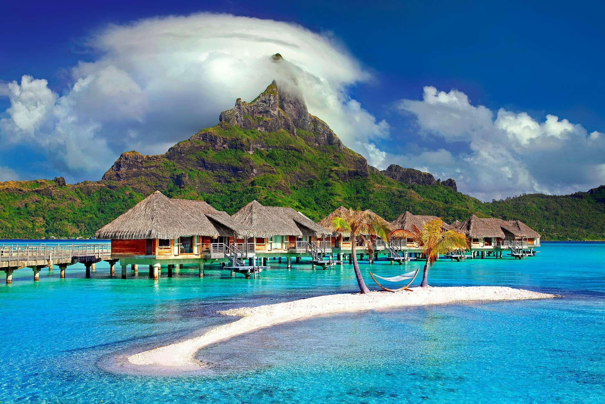
Daman & Diu
★ ★ ★ ★ ☆
Daman and Diu, former union territory of India, which comprised two widely separated districts on the country’s western coast. Daman is an enclave on the state of Gujarat’s southern coast, situated 100 miles (160 km) north of Mumbai (Bombay). Diu encompasses an island off the southern coast of Gujarat’s Kathiawar Peninsula, 40 miles (64 km) southeast of Veraval, as well as a small area on the mainland. The town of Daman, in the Daman district, was the capital of the territory. In January 2020 the two districts joined Dadra and Nagar Haveli to become Dadra and Nagar Haveli and Daman and Diu union territory. Area 43 square miles (112 square km). Pop. (2011) 242,911.

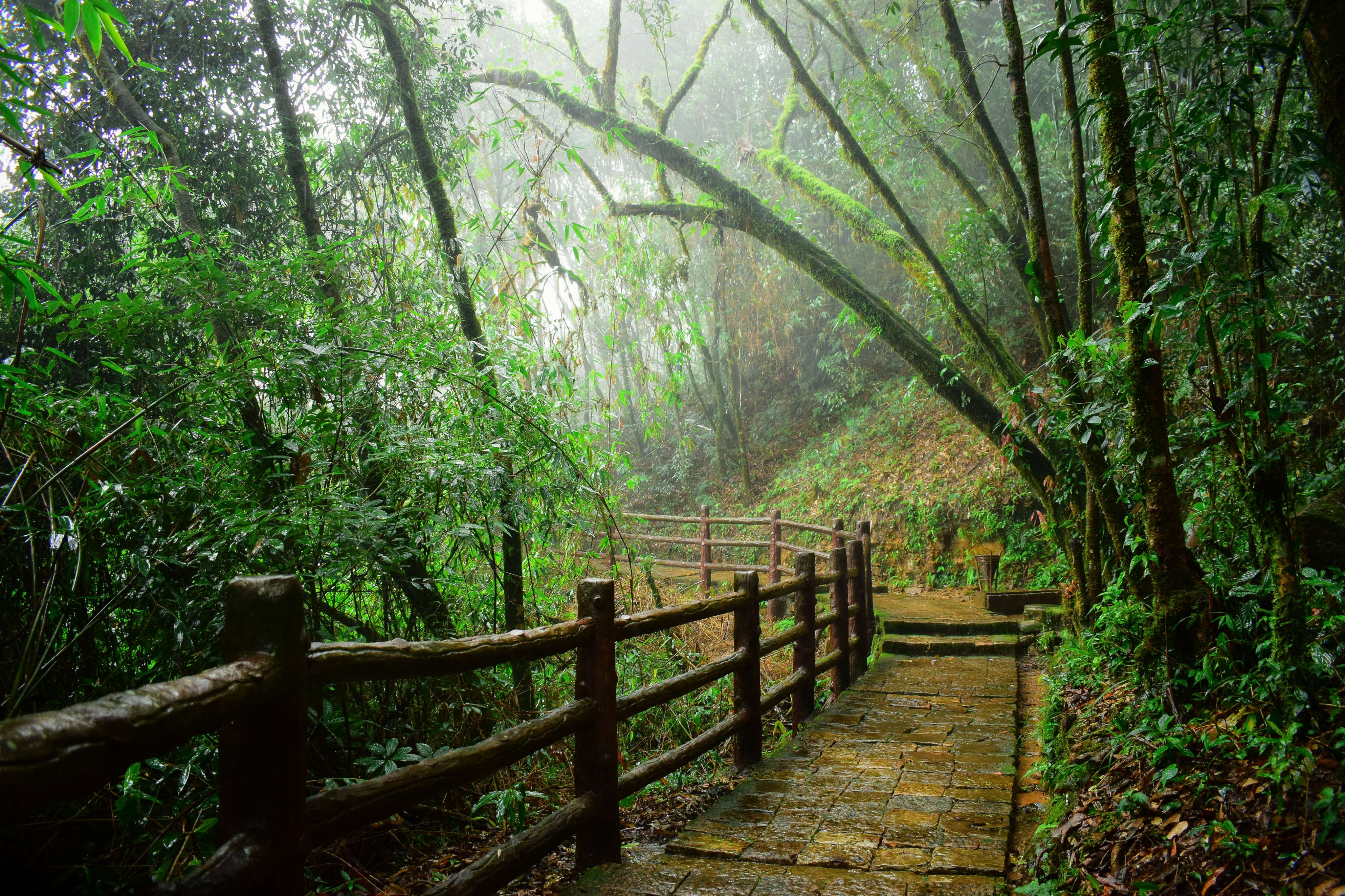
Nagaland
★ ★ ★ ★ ☆
Nearly all of Nagaland is mountainous. In the north the Naga Hills rise abruptly from the Brahmaputra valley to about 2,000 feet (610 metres) and then increase in elevation toward the southeast to more than 6,000 feet (1,830 metres). The mountains merge with the Patkai Range, part of the Arakan system, along the Myanmar border, reaching a maximum height of 12,552 feet (3,826 metres) at Mount Saramati. The region is deeply dissected by rivers: the Doyang and Dikhu in the north, the Barak in the southwest, and the tributaries of the Chindwin River (in Myanmar) in the southeast.Nagaland has a monsoonal (wet-dry) climate. Annual rainfall averages between 70 and 100 inches (1,800 and 2,500 mm) and is concentrated in the months of the southwest monsoon (May to September). Average temperatures decrease with greater elevation; in the summer temperatures range from the low 70s F (about 21–23 °C) to the low 100s F (about 38–40 °C), while in the winter they rarely drop below 40 °F (4 °C), though frost is common at higher elevations. Humidity levels are generally high throughout the state.
Shillong
★ ★ ★ ★ ☆
Shillong, formerly called Yeddo or Lewduh, city, capital of Meghalaya state, northeastern India. The city is located in the east-central part of the state on the Shillong Plateau, at an elevation of 4,990 feet (1,520 metres). Shillong first became prominent in 1864, when it succeeded Cherrapunji as the district headquarters. In 1874 it was made the capital of the new province of Assam. An earthquake destroyed the city in 1897, necessitating its complete rebuilding. The North East Frontier Agency’s headquarters were in Shillong until that region became the union territory of Arunachal Pradesh in 1972. In that year Shillong became the capital of Meghalaya, which had been newly created out of territory that was formerly within the state of Assam. Shillong, a popular tourist destination, is at the core of one of the largest urban areas in northeastern India. It is an important trade centre for agricultural products and has research stations focusing on dairy farm, fruit, and silk production. It also has the Pasteur Institute and Medical Research Institute and is the home of North-Eastern Hill University (founded 1973). The Barpani hydroelectric station lies a few miles to the north. Traffic congestion is a problem in the city.